El Nino weather pattern enters record territory: scientist / Photo: © AFP/File

 Zidane leads first France training session
 Man shot by ICE agent in Texas detained with bullet inside him: lawyer

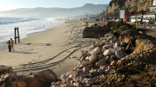 California declares state of emergency ahead of El Nino

 South Africa arrests three more suspects, after nine women murdered

 Carse needs time away from England, says captain Brook

 NOWPayments Releases Cross-Chain Payout Data Revealing Key Performance Benchmarks Across TRON, BNB Chain, and Solana

 British Museum bans photos of Bayeux Tapestry as crowds linger

 COP31 host says AI climate footprint to be a summit priority

 Berlin's far-left vote winners reject anti-semitism charges

 Mancini eager for 'new adventure' on Italy return

 Mbappe says having Zidane as France coach 'like a film'

 Palmer, Rice out of England Nations League squad
 German auto workers stage mass protests in bid to save jobs
 Embattled Merz vows to keep ruling for 'democratic future' of Germany

 Merz vows to keep ruling coalition together for 'democratic future' of Germany

 Spain coach De la Fuente gets new deal after World Cup success

 Pressure grows on Germany's Merz after election defeats

 China's Zhang beats Japan rivals to Asian Games gymnastics gold

 Samlingen Haupt: Vad pengar avslöjar om oss människor

 Tens of thousands of German auto workers protest to save jobs

 हॉप्त् कलेक्शन: पैसा हमारे बारे में एक इंसान के रूप में क्या प्रकट करता है

 Συλλογή Haupt: Τι αποκαλύπτει το χρήμα για εμάς τους ανθρώπους

 TradersYard Shifts Focus to Futures Trading

 ハウプト・コレクション:お金が人間について明かすこと

 하우프트 컬렉션: 돈이 우리 인간에 대해 드러내는 것

The strengthening El Nino weather pattern has tied for the most intense on record on a widely-used metric, a senior scientist told AFP Monday, even as its influence is already being felt from Central America to Indonesia.
Zeke Hausfather, a climatologist at Berkeley Earth and co-author of comprehensive climate change reports for the United Nations, said that the sea surface temperature anomaly in the tropical Pacific now stands at 3.07C, which ties with the 2015-2016 El Nino.
"This month (September) is very likely to have the highest monthly anomalies on record, barring something quite unexpected in the coming week," he said in an email.
Hausfather's figures, published on the Climate Brink dashboard, draws on the National Oceanic and Atmospheric Administration (NOAA) satellite-and-buoy sea surface record.
They are based on how much daily sea surface temperatures in the Nino 3.4 region -- an imaginary box in the Pacific -- are above a 30-year-average.
But NOAA itself has shifted to a newer method called the Relative Oceanic Nino Index (RONI), which gauges warming in the Nino 3.4 region against warming across the whole tropical belt. The goal of this change is to account better for the impacts of climate change heating oceans in general.
On that metric, the numbers run lower, and the current El Nino is still below the record, though expected to eventually break it.
El Nino is the warming phase of a natural cycle in the tropical Pacific known as the El Nino-Southern Oscillation (ENSO).
It sets in when trade winds that blow from east to west temporarily ease up, allowing warm water which normally piles up in the western Pacific Ocean to slide back east and rise to the surface.
When those warmer-than-average surface temperatures last for a few months, they cause more storms and clouds over the region, which in turn cause ripple effects through the entire global atmosphere.
The upshot is hotter and drier conditions in some places, cooler and wetter in others.
Human-caused climate change can increase El Nino's impacts. A warmer atmosphere holds more moisture, so El Nino-linked rains can turn more extreme. It also dries out soil, deepening drought where El Nino brings it.
Scientists aren't in full agreement about whether climate change intensifies El Ninos themselves, but a recent study based on coral skeletons found there had been "striking amplification" of El Ninos in the past 40 years compared to the pre-industrial period.
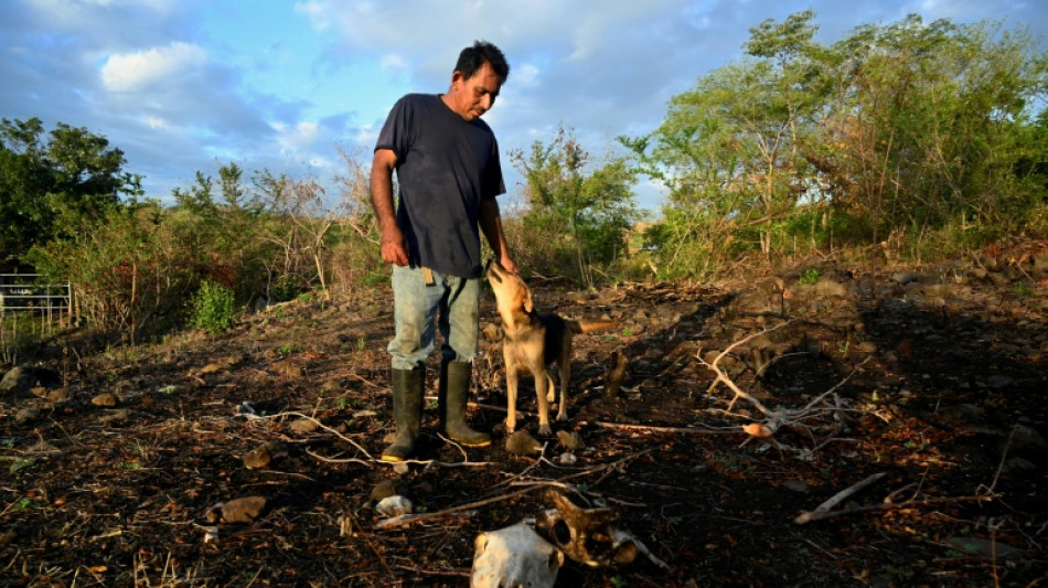
This El Nino is already hitting some regions hard, including in Central America, where animals and crops are dying from drought. Lack of water also poses huge problems for the Panama Canal.
Five percent of global trade passes through the waterway linking the Atlantic and Pacific. It cannot function without the reservoir water it uses to power locks that lift and lower ships at the start and end of their passage, and authorities have had to slash traffic through the canal.
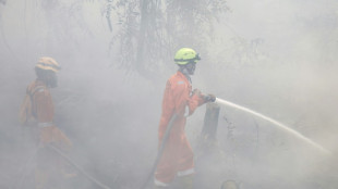
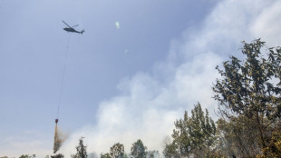
In Indonesia, it is blamed for drought that has fueled wildfires which have wrought havoc on the vast archipelago.
A.Gasser--BTB